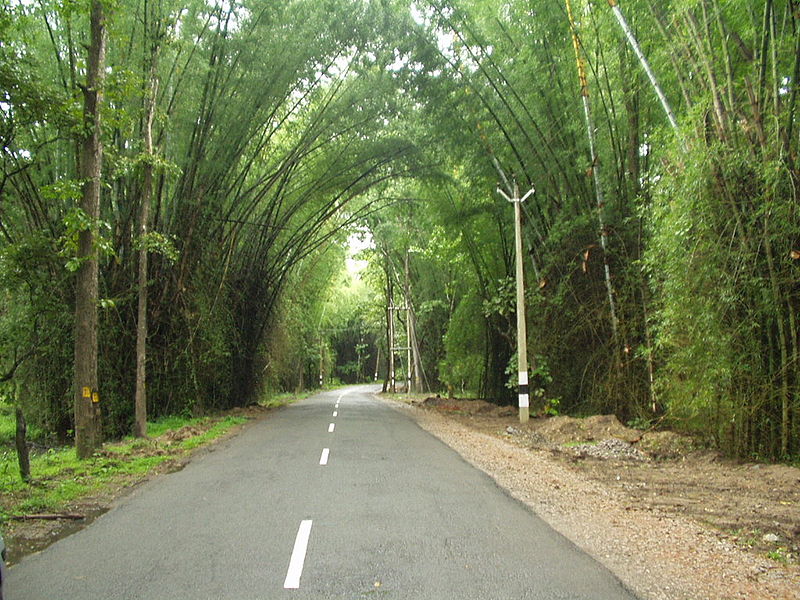
MESMERIZING CURVES OF WAYANAD
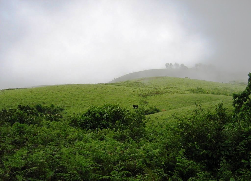
 Wayanad district stands on the southern tip of the Deccan plateau and includes part of the Western Ghats. Quite a large area of the district is covered by forest but the continued and indiscriminate exploitation of the natural resources point towards an imminent environmental crisis. It has a large
amount of dry and moist deciduous forest. Wayanad is home to endangered species.
ROUTE
TRIVANDRUM---PUNALOOR---PATHANAPURAM---KONNI---RANNI---MANIMALA---KOOTHATUKULAM---MUVATTUPUZHA---KARUKUTTY---CHALAKKUDY---THRISSUR---MANJERI---ARECODE---MUKKAM---THAMARASERRY---KALPATTA---WAYANAD---MEENANGADI---NADUGANI---VAZHIKADAVU---NILAMBUR---PANDIKKAD---MELATOOR---MANNARKKAD---PALAGHAT TOWN---ALATHUR---VADAKKACHERY---CHALAKKUDY---ANAGAMALY---ERNAKULAM---CHERTAHALA---ALAPUZHA---HARIPAD---KAYAMKULAM---KOLLAM---TRIVANDRUM (ROUND TRIP) --1025 KMS
ESTIMATED DAYS OF TRAVEL---10 DAYSPETROL EXPENSE ---RS.1300/-FOOD ---RS.2100/-HOTELS AND OTHERS ---RS.5000/-
ATTRACTIONS
En route to Mysore on NH 212, past Wayanad district boundary, which is also the Kerala state boundary, NH 212 passes through Bandipur National Park. There is a night traffic ban imposed on this stretch since 2009.The alternate road to take is, leave NH 212 at Kalpetta and proceed to Mysore through Mananthavady, Kutta, Gonikoppal, and Hunsur.

BANASURA SAGAR DAM
Banasura Sagar dam across the Karamanathodu River, a tributary of River Kabini, in Kalpetta, is considered to be the largest earth dam in India and the second largest in Asia. The dam is ideally placed in the foothills of Banasura hills, which got its name from 'Banasura', the son of King Mahabali, the famous ruler of Kerala. It is said that 'Banasura' undertook severe penance on the top of the hills. Banasura hill is the third largest peak in the Western Ghats.
The dam here was constructed on behalf of the Banasurasagar project in 1979, to support the Kakkayam Hydroelectric power project to meet the water demand for irrigation and drinking purposes. The dam, located around 21 km away from Kalpetta is a beautiful tourist destination in Wayanad. Banasura dam is made up of massive stacks of stones and boulders.
One of the beautiful sights here is the set of islands in the dam's reservoir, which was formed when the reservoir submerged the surrounding areas during monsoon season. These islands with the Banasura hills in the background are a visual treat for those who visit the dam and its premises. Because of this peculiarity, tourists are attracted towards this destination. The dam is very close to Karalad Lake, another tourist hotspot in Wayanad.
At Banasura Sagar dam, you can engage yourself in trekking and boating. Trekking is one of the top attractions here. You can plan a trek to the dark forests of Banasura Peak. A boating trip in the lake and the dam is also a unique experience for the travellers. You can choose either speed boat or pedal boat. You can also plan a trip to the small nature park, very near to the boating place. This park with its traditional tree swings will provide cheerful moments for kids.
The best season to be at Banasura Sagar dam is from November to May. You can also plan a visit to temples like Shri Ayyappa Mandir, Shri Nath Mandir, Nirur Shiva Mandir very near to Banasura Sagar Dam.
MUTHANGA WILDLIFE SANCTUARY Located around 16 km away from Sulthan Bathery, the Wayanad Wildlife Sanctuary, popularly known as Muthanga Wildlife Sanctuary is a rainforest wich connects Nagarhole and Bandipur parks in Karnataka and Mudumalai in Tamil Nadu. Spread over an area of 345 sq km, the sanctuary is an abode of rich flora and fauna. Located around 16 km away from Sulthan Bathery, the Wayanad Wildlife Sanctuary, popularly known as Muthanga Wildlife Sanctuary is a rainforest wich connects Nagarhole and Bandipur parks in Karnataka and Mudumalai in Tamil Nadu. Spread over an area of 345 sq km, the sanctuary is an abode of rich flora and fauna.
Established as a wildlife sanctuary in 1973, the Muthanga wildlife sanctuary was brought under the Project Elephant in the year 1991-92. It is considered to be the second largest wildlife sanctuary in Kerala and bio-geographically one of the richest tracts of peninsular India. Here you can see semi-evergreen, moist deciduous and dry deciduous forests.
The moist deciduous forest of Muthanga is blessed with varieties of trees and other plants. You can sight here maruthi, karimaruthi, rosewood, venteak, vengal etc. Go and get excited with the sight of wild animal like elephant, tiger, panthers, jungle cats, civet cats, monkeys, wild dogs etc. The sanctuary is also blessed with its endless population of birds like peacocks, babblers, cuckoos, owls, woodpeckers, jungle fowls etc.
Wayanad wildlife sanctuary consist of four ranges – Sulthan bathery, Kurichyad, Muthanga and Tholpetty, of which Muthanga and Tholpetty ranges are mostly targeted by the tourists’ to Wayanad. They are separated by plantations. These are two eco-tourism centres in Wayanad wildlife sanctuary. The eco-tourism in these places helps to create conservation awareness in the minds of the travellers and to well maintain the sanctuary and its premises. The eco-tourism programmes consist of elephant camp visit, jeep safari, trekking, bird watching, tribal folklore etc.
You can make a visit to this wildlife sanctuary from June to October. Frequent buses are available to reach this destination. The other destinations near to Wayanad wildlife sanctuary are Bandipur National park, Mudumalai Elephant Park and Nagarhole Willife Sanctuary.
Entry Fee:
Indians: Rs. 10 per person
Children below 12 years and bonafide students on tour: Rs. 5 per head
Foreigners: Rs.100 per person
EDAKKAL CAVES
Twenty five kilometers away from Kalpetta lays two caves which showcases nature’s skill and philosophy on architecture. These caves are located 1,200 m above the sea level on Ambukutty Mala. The name ‘Edakkal’ literally means ‘a stone in between’. Here you can see a cave formed by a heavy boulder straddling a fissure in the rock.
Many legends are there behind the formation of Edakkal caves. One of the stories is that, these caves are said to be formed with the arrows fired by Lava and Kusha, the sons of Lord Sri Rama. Another one is associated with Kutti Chathan and the Goddess Mudiampilly. The local people used to have a pilgrimage trip to this place to honour the Goddess.
The caves were discovered by Fred Fawcett, the then Superintendent of Police of the Malabar district in 1890, during his hunting trip to Wayanad. He discovered the Edakkal rock-shelter, situated on the western side of Edakkalmala. To his surprise, he identified the place as a habitat of Neolothic people.Edakkal caves are famous for its pictorial paintings (cave paintings), which are considered to be of 6000 B C. To reach the caves, one has to trek through the Ambukutty Mala. It will take around 45 minutes to climb the hill and you will never get disappointed in your trip to these historic caves.
Inside the cave, you can see two chambers. The lower chamber is 18 ft long, 12 ft wide and 10 ft high and the upper chamber is 96 ft long, 22 ft wide and 18 ft high. You can sight carvings of human, animal figures and objects used by humans, on the walls of the caves. These carvings give great evidence for a highly civilized society who lived in the pre-historic age. Edakkal caves have drawn great attention of archeologists and historians worldwide.
Edakkal is the only known place in India with Stone Age carvings. You can see here carvings belonging to Neolithic and Mesolithic age. The human figures of these caves have raised hair and some have masks. They all have archeological significance and are interesting too. Along with these pictorial carvings, you can also watch Tamil and Brahmi Script in Edakkal caves.
Edakkal is said to have some links with Indus Valley Civilization too. Around 400 signs were discovered recently, which had shown its relationship with the ancient civilization. The prominent among them was ‘a man with a jar cup’.
The visiting time to Edakkal caves is from morning 9:30 to evening 4:30. You can reach the lower part of the Ambukutty hills via bus or car and from there you have to climb the hills. Till mid way of the hills, you can make use of the jeeps arranged by the DTPC. To enter the caves, you have to give a reasonable entry fee.
   |